
Monsoon's Precipitation Update for Tuesday night, 1 December 2009
Just wanted to alert you to two developing weather stories: heavy rain and wind on Wednesday and possible snow showers this weekend!
Wednesday 12/2 will begin with partly cloudy skies; clouds will increase ahead of a storm front. Expect light to moderate rain to begin by about 2 or 3pm. The rain will intensify (buckets!) throughout the evening and overnight, dropping three-quarters of an inch in most places with an inch or more locally. Watch for flooding in isolated areas. Temperatures will hold rather steady in the neighborhood of 50 for much of the day and evening Wednesday.
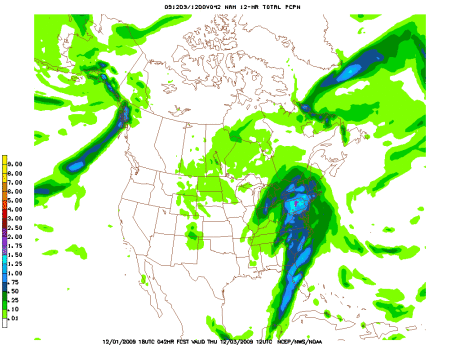
Rain will taper into Thursday morning, with a few lingering showers possible into Thursday afternoon. Look for strong winds in excess of 20mph—with gusts exceeding 30mph—overnight and into Thursday morning. Winds will diminish throughout the day on Thursday.
Expect a high into the mid 50s Thursday, followed by a low around freezing as the cold front completes its journey.
Friday 12/4 is looking sunny and cool with a high in the mid 40s and lows into the upper 20s.
On Saturday we could see a few rain and/or snow showers throughout the day, but right now it’s not looking like the moisture is organized enough (nor is the air going to be cold enough) to make this our fifth December 5th snowstorm in the 2000s. Expect highs not above 40 (and falling through the day) and lows Saturday night in the upper 20s. If this becomes anything to get worked up about, I’ll let you guys know.
Sunny, clear and calm for Sunday with a high in the low 40s and a low in the upper 20s.
Next week is looking cool with highs in the mid 40s, and even colder later in the week, when temperatures won’t even get out of the 30s. Look out for a bit of rain on Wednesday 12/9 or Thursday 12/10.
Stay tuned!